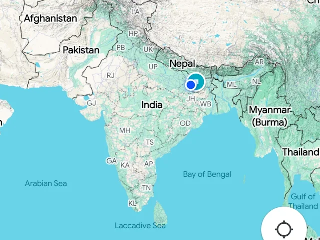
Geographical Extremes of the Subcontinent! Four Extreme Points of India That you should know
 |
India is a vast and diverse country with its boundaries stretching across various climatic zones and geographical features. India is a land of immense geographical diversity and is defined by four key extremities that mark its territorial limits. These points ranging from the snow-capped peaks of the north to tropical islands in the south showcase the vastness of the Indian subcontinent.
From the high-altitude terrain of Ladakh's Indira Col to the tropical Indira Point in the Nicobar Islands, India's geographical boundaries also extend from Kibithu in the east to Guhar Moti in the west. These locations highlight not just India's natural diversity but also its strategic importance in the South Asian region.
Let’s explore these extremities:

1. Northernmost Point: Indira Col, Ladakh
Indira Col, located in the Siachen Glacier region of Ladakh, is India's northernmost point. It lies close to the trijunction of India, China, and Pakistan-controlled areas. The region is known for its high-altitude terrain and is a vital area due to geopolitical reasons.

2. Southernmost Point: Indira Point, Great Nicobar Island
Indira Point is the southernmost point of India and is located on Great Nicobar Island in the Andaman and Nicobar Islands. It was named in honour of former Prime Minister Indira Gandhi. This point is an essential maritime boundary, and it faces the Indian Ocean, providing India with strategic control over sea routes.

3. Easternmost Point: Kibithu, Arunachal Pradesh
Kibithu, in Arunachal Pradesh, near the India-China border, is the easternmost point of India. This area is situated in the Eastern Himalayas and plays a significant role in border security and defence.

4. Westernmost Point: Guhar Moti, Gujarat
Guhar Moti, located in Gujarat near the India-Pakistan border, marks India's westernmost point. It is part of the Kutch region and is known for its arid landscape and proximity to the Arabian Sea.
These geographical extremes not only define India's boundaries but also reflect its diverse topography from glaciers and deserts to islands and plateaus. Understanding these points helps us appreciate India's vastness and its strategic importance in South Asia.


Comments
Post a Comment